


Vegetation monitoring
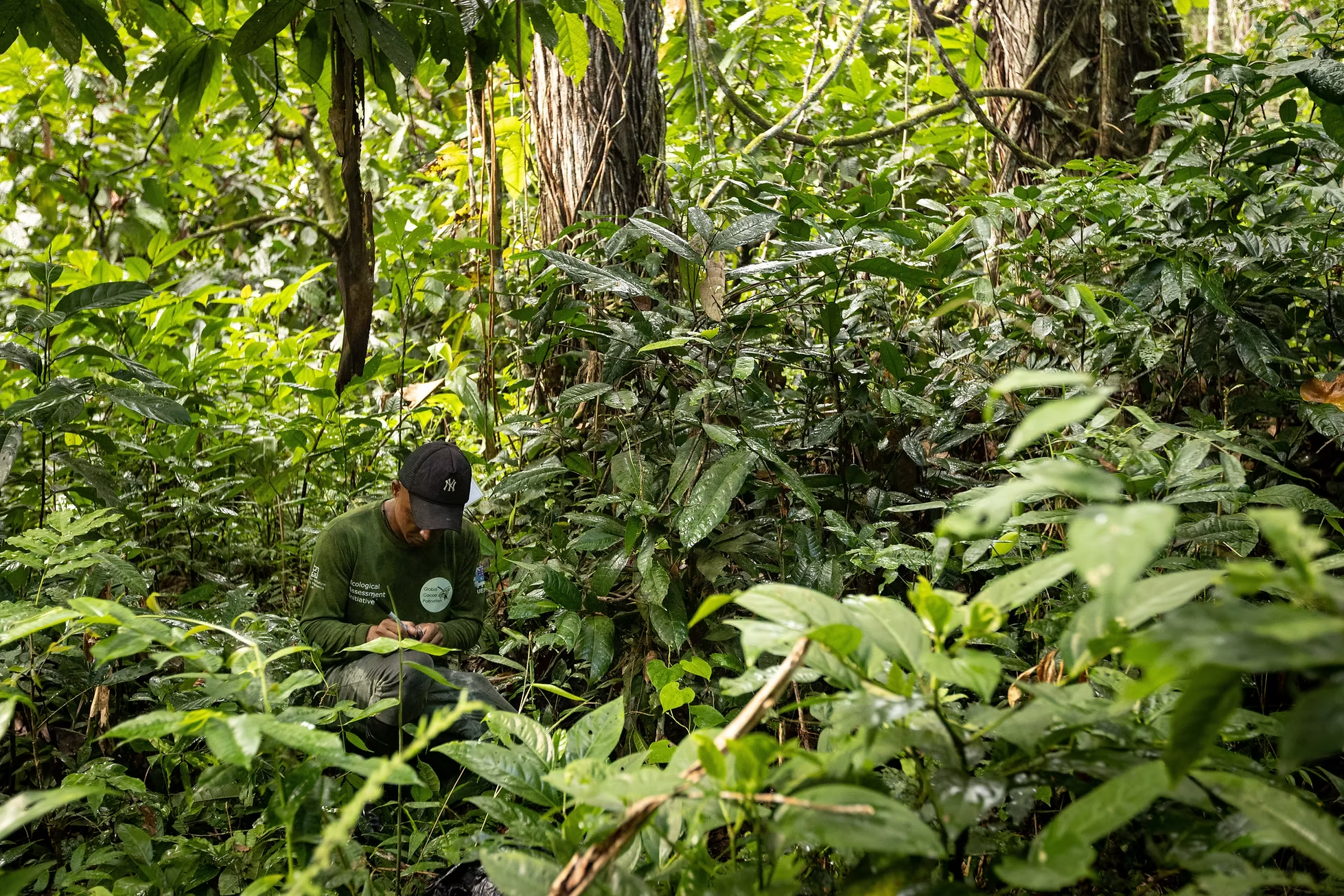
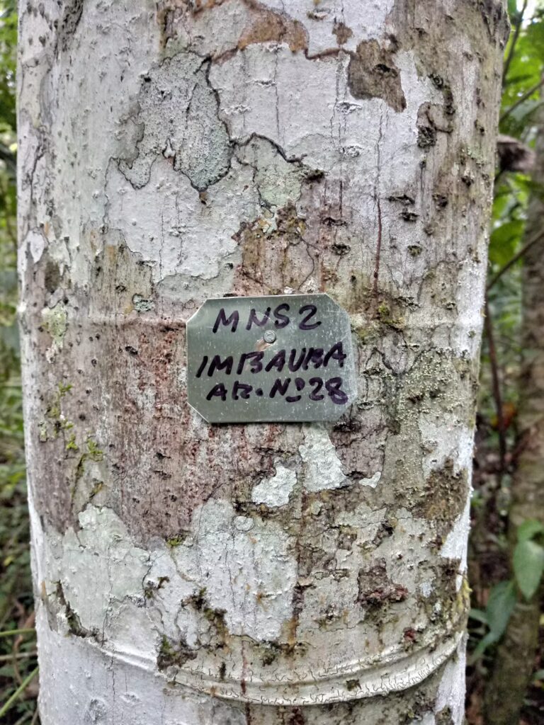
On these plots, we recorded the characteristics of the vegetation twice a year from 2022 to 2024 in order to assess the changes in vegetation composition in relation to the degree of land use intensification. To do this, we identified and quantified the different species of medium and large trees and shrubs. We also measured the circumference of the trunks of the largest trees and marked them with identification labels. To complete the survey, we estimated the vegetation cover of the soil and the cover of the tree canopy.
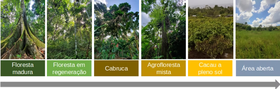
The project was carried out with the collaboration of 28 cocoa producers in the region, which has allowed us to install 60 research plots along a land use intensification gradient.
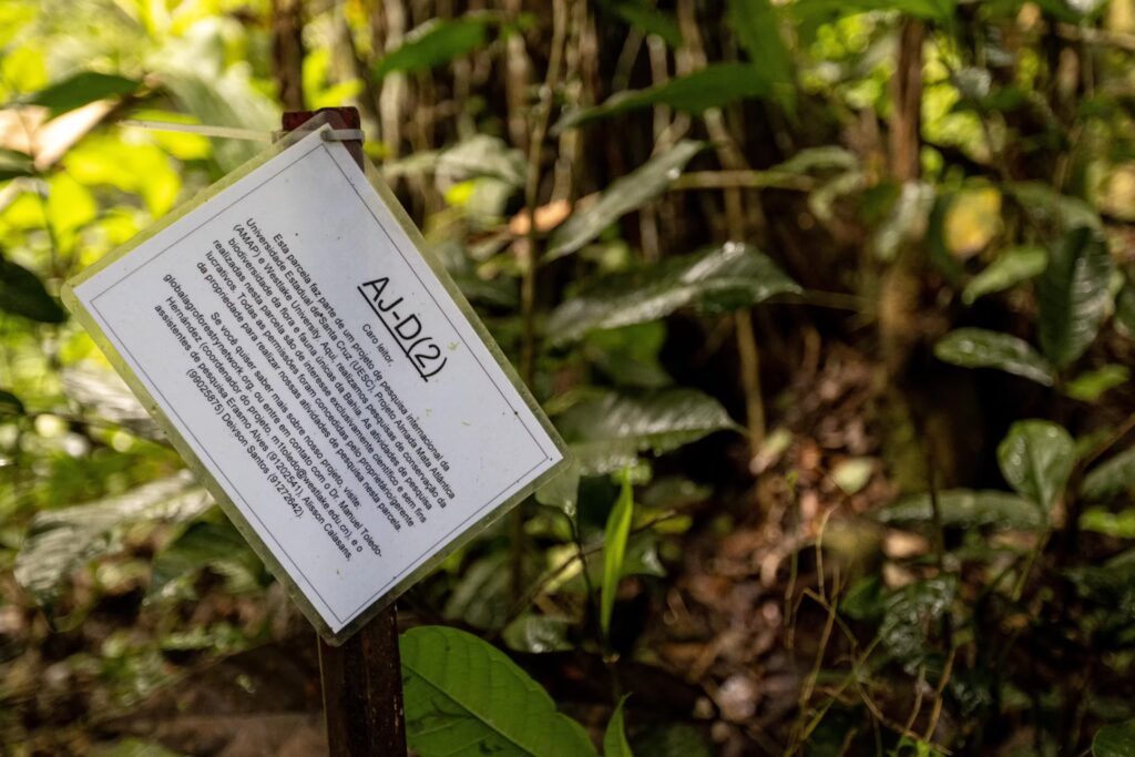
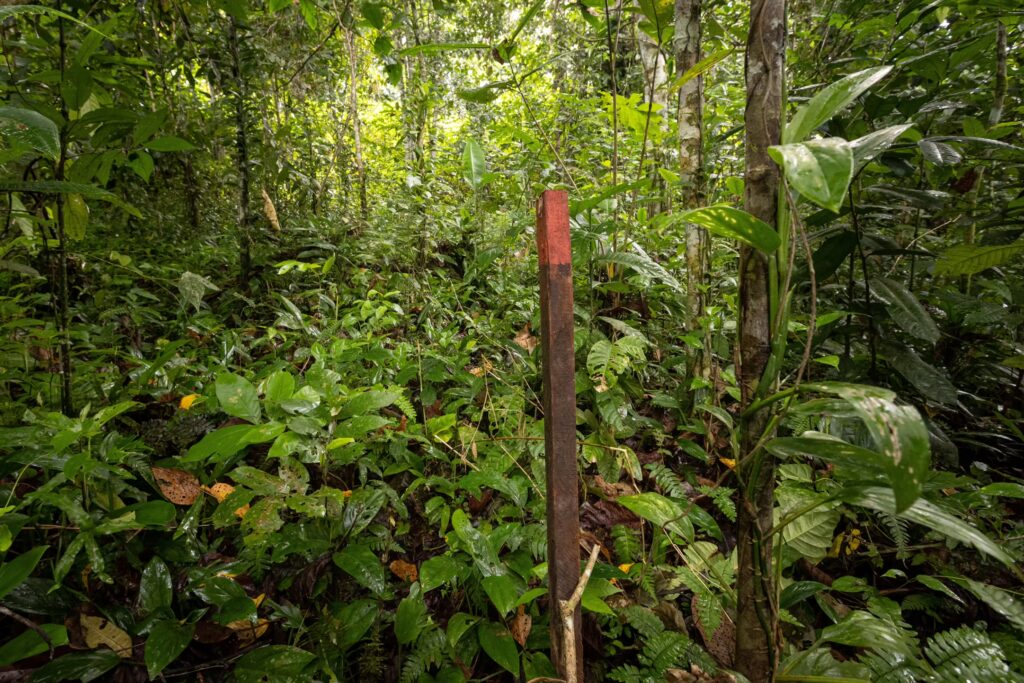
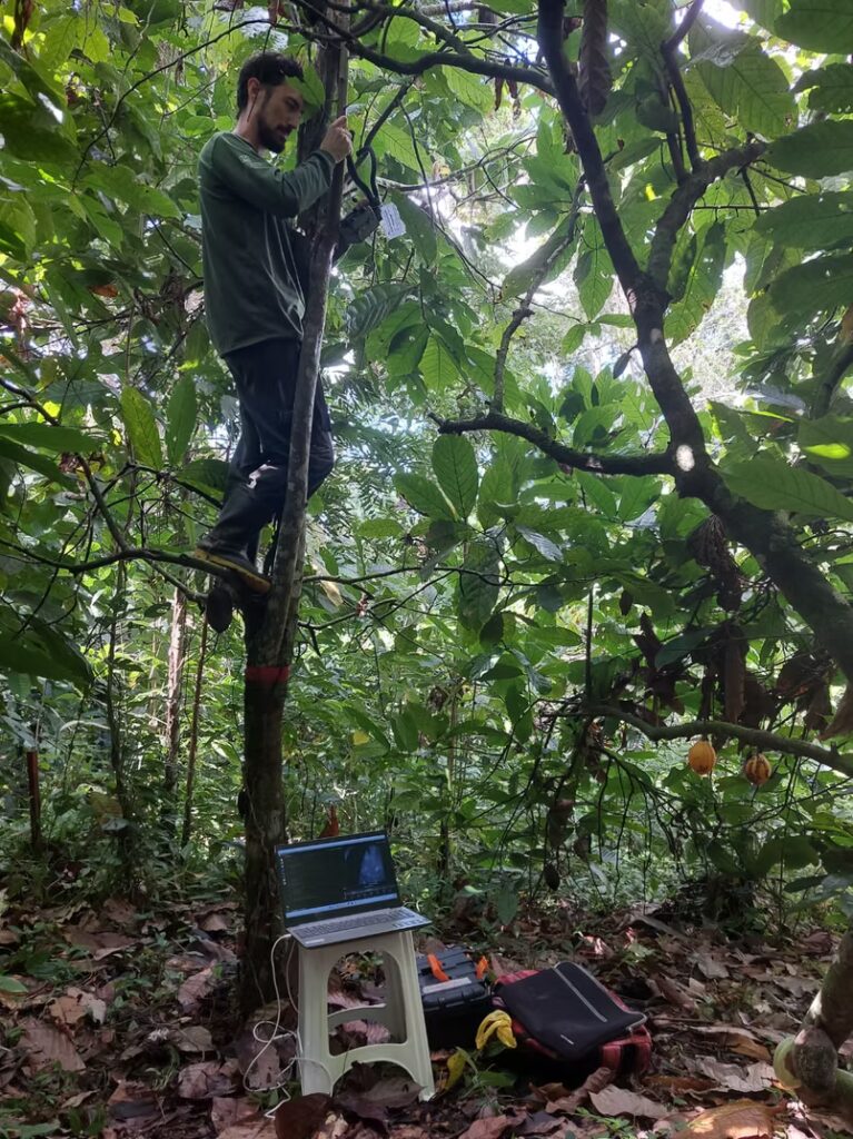
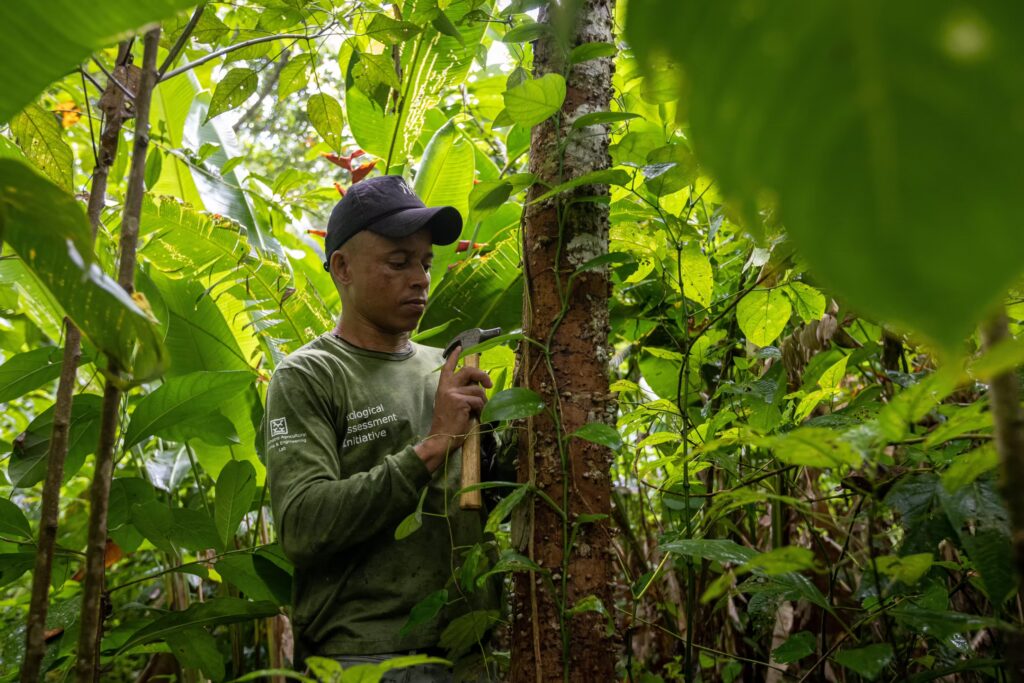
Due to climatic influences and other factors that occur in the study areas, we perform regular maintenance on plots, replace stakes, and identify missing or damaged signs.
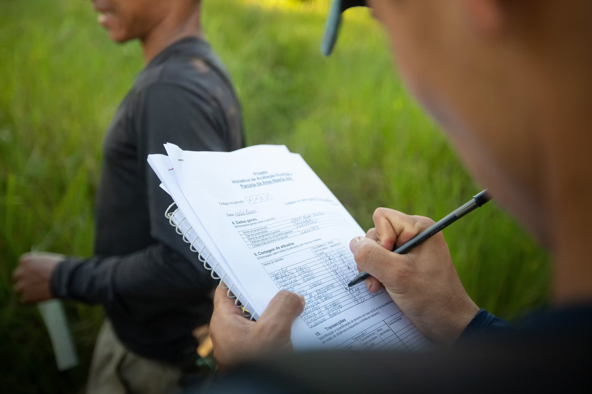
In this way, we generated information on factors that may be determining pollination and other important dynamics for biodiversity and agricultural production.